
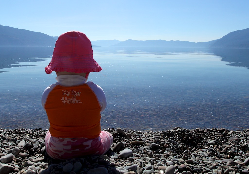
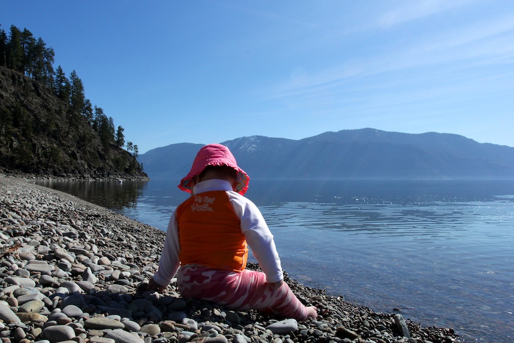
There is something about large bodies of water that I cannot describe. I found myself gazing in wonder out over Lake Pend Oreille on a recent hike at Mineral Point. Is it the vastness? The unknown?
The U.S. Navy tested submarines in Lake Pend Oreille and established Farragut Naval Training Station during WWII at the south end of the lake
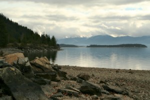
Mineral Point only offered a glimpse of the 111 miles of shoreline that twist between the Cabinet, Selkirk and Coeur d’Alene Mountains.
Lake Pend Oreille is huge compared to the mountain lakes I’m familiar with such as Roman Nose Lakes. At 65 miles long and a surface area of 148 square miles, Lake Pend Oreille is the largest lake in Idaho.
Looking at the surface, one wouldn’t guess that Lake Pend Oreille is also the fifth deepest lake in the United States at 1,158 feet (behind Crater Lake, Lake Tahoe, Lake Chelan and Lake Superior) and the 13th largest lake by volume in the world.
Lake Pend Oreille was originally called Kullyspel Lake by David Thompson, a North West Company fur agent, in 1809
Why such a large lake in North Idaho?
A combination of factors created the vast basin that holds Lake Pend Oreille.
To begin with, Lake Pend Oreille occupies an ancestral river valley created by faults–the same fault system that created the Purcell Trench that stretches north to Bonners Ferry and into British Columbia.
When the ice ages began, the river valley was repeatedly scoured by glaciers. First by large ice-age glaciers 100,000 years ago that stretched south to Coeur d’Alene and Spokane. They were responsible for most of the depth of the basin.
The most recent glaciers (between 18,000 and 12,000 years ago) ended in the Lake Pend Oreille basin and eroded the basin even deeper.
The U.S. Navy still continues testing from its Acoustic Research Detachment in Bayview and their seismic reflection surveys revealed the bedrock was below sea level
Deep is an understatement. The glaciers scoured the bedrock to 600 feet below sea level. With a surface elevation of 2,062 feet in the summer, that would mean the lake is over 2,600 feet deep. However, if you reached the bottom of the lake it isn’t bedrock–its sediment. Nearly 1,500 feet of sediment fill the deepest basin making the deepest waters 1,158 feet.
Lake Pend Oreille’s vast depths and quantities of sediment also owe their origin to a larger, cataclysmic event–the Ice Age Floods.
During the last ice age, the Purcell Lobe of the continental ice sheet came down the Purcell Trench repeatedly, covering the surrounding mountains in the earliest advances, and scouring the valley bottom each time. The minimum thickness of ice has been estimated between 4,500 to 5,000 feet at Sandpoint.
As the Purcell Lobe advanced south it plowed into the Green Monarch Ridge and split into the Lake Pend Oreille sublobe and Clark Fork sublobe, thus blocking the Clark Fork River to the east. The tight seal against Green Monarch Ridge dammed the Clark Fork River and created Glacial Lake Missoula.
At its maximum, Glacial Lake Missoula was up to 2,000 feet deep and covered 3,000 square miles of western Montana.
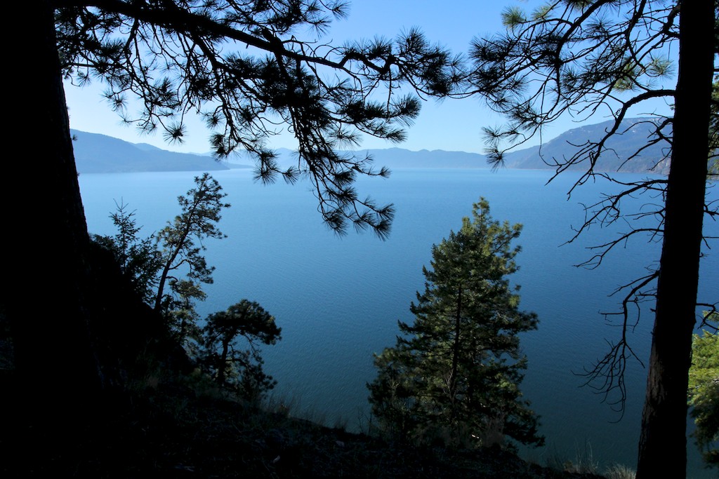
Green Monarch Ridge in background
The cataclysmic failure of the ice dam resulted in more than 500 cubic miles of water being released at once–more than 10 times the combined flow of ALL the present-day rivers on Earth! Within three days Glacial Lake Missoula was emptied. This occurred numerous times.
The tremendous flow of water scoured the lake bottom and washed away accumulated sediments each time.
Why then is there 1,500 feet of sediment in Lake Pend Oreille but a valley full of sediment surrounding areas of the lake?
After the last Ice Age flood, another glacier occupied the lake basin but didn’t create an ice dam. Outwash from the glacial meltwater covered the low elevations at Bayview and within the lake basin.
Researchers suggest the entire basin didn’t fill with sediment because a large mass of ice lingered in the deep basin of Lake Pend Oreille after other nearby glaciers melted. This kept a significant amount of sediment from accumulating in Lake Pend Oreille. Once the ice did melt, the sediments on top eventually came to rest on the bedrock.
Then over time the basin filled with water from the Clark Fork River, Pack River and numerous small streams to become the vast lake we see and marvel at today.


This is an excellent commentary. Thank You!
Having resided in Spirit Lake ID for five years, I was fascinated by this research on Lake Pend Oreille and the great flood the dam burst created. I drilled a well on my property and encountered glacial materials all the way down to 655 feet and hit bedrock. We drilled 5 more feet in order to set the pump. I have fished this lake many times and on some of the small rocky outcrops, the ‘scoring’ marks and ridges created by the glaciers scouring the surfaces, is all too evident! What cataclysmic’events’ these floods must have been!
That’s amazing!
Laura