
From the time I leave Bettles, Alaska until I cross over the Cassiar Mountains east of Whitehorse, Yukon on the Alaska Highway, I will be traveling almost entirely in the Yukon River watershed. Only one area along the Alaska Highway near Haines Junction drains to the Pacific Ocean through the Saint Elias Mountains (the Dezadeash/Alsek River).
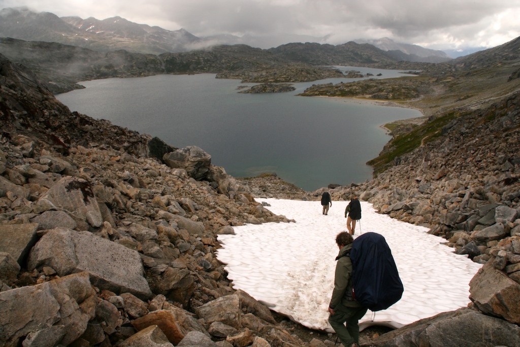
Crater Lake on the north side of Chilkoot Pass is part of the Yukon River watershed
At approximately 330,000 square miles, the Yukon River watershed is the fifth largest in North America. Despite the huge area the Yukon River drains, the inhabitants are few, roughly 128,000 people, and that includes the major towns of Fairbanks and Whitehorse. Compare that to Spokane which has a population of 210,103 people or even Kootenai County with 141,132 people, both of which are located in the Columbia River Basin that encompasses 258,000 square miles.
From the northern reaches of the Coastal Range mountains in British Columbia to the southern slopes of the Brooks Range in Alaska to the Bering Sea, the Yukon River creates a large arc through the Yukon Territory and Alaska. The water in the Koyukuk River flowing past Bettles eventually ends up in the same place as that flowing from Lake Lindeman on the Chilkoot Trail–the Bering Sea.
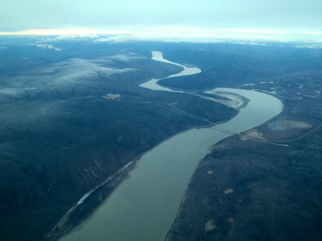
The only bridge that crosses the Yukon River in Alaska
Before the Yukon River reaches the Bering Sea, it spreads out into an extensive delta, 40 to 60 miles wide in some areas (which is approximately the distance from Porthill to Sandpoint). This extensive area of wetlands is some of the most productive goose and shorebird nesting habitat in Alaska–over 100 million shorebirds and waterfowl migrate there to nest. The delta is also the starting location for one of the largest Chinook, Chum and Coho Pacific salmon runs in the world.
From the Bering Sea to its glacial headwaters at the south end of Atlin Lake in British Columbia, the Yukon River traverses 1,980 miles, making it the third longest river in North America (the Mississippi River is first and the Mackenzie River in northern Canada is second) and the twentieth longest in the world.
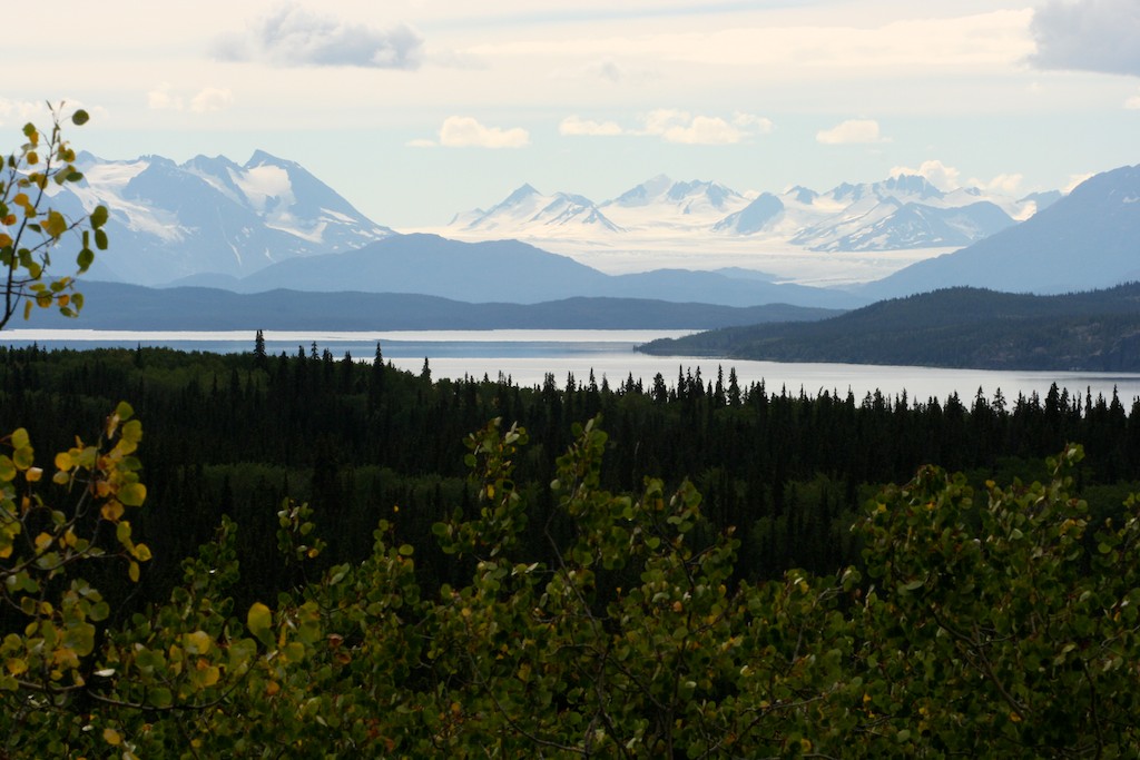
Llewellyn Glacier and Atlin Lake–the headwaters of the Yukon River
Over those nearly 2,000 miles, only 17 communities dot the main river banks, however, more exist on the tributaries. Fewer yet are the number of bridges–only four–along the entire length. The Yukon River bridge on the Dalton Highway (also called the Haul Road) is the only bridge that crosses the Yukon River in Alaska.
Before bridges and roads were built, sternwheelers navigated the Yukon River from the Bering Sea all the way to Whitehorse. This was the main method of travel in the watershed, especially during the gold rush days. Once the Klondike Highway was completed in the 1950‘s and connected Dawson City to Whitehorse (and the rest of North America’s road system), the need for sternwheelers plummeted.
With minimal roads, only a small portion of the Yukon River watershed is accessible by road. The nearly thousand-mile drive from north of the Arctic Circle to east of Whitehorse crosses the Yukon River only twice but crosses dozens of small and large tributaries that all flow into the mighty Yukon.


